Easy Hiking Trails Near Seoul: A Foreigner's Guide

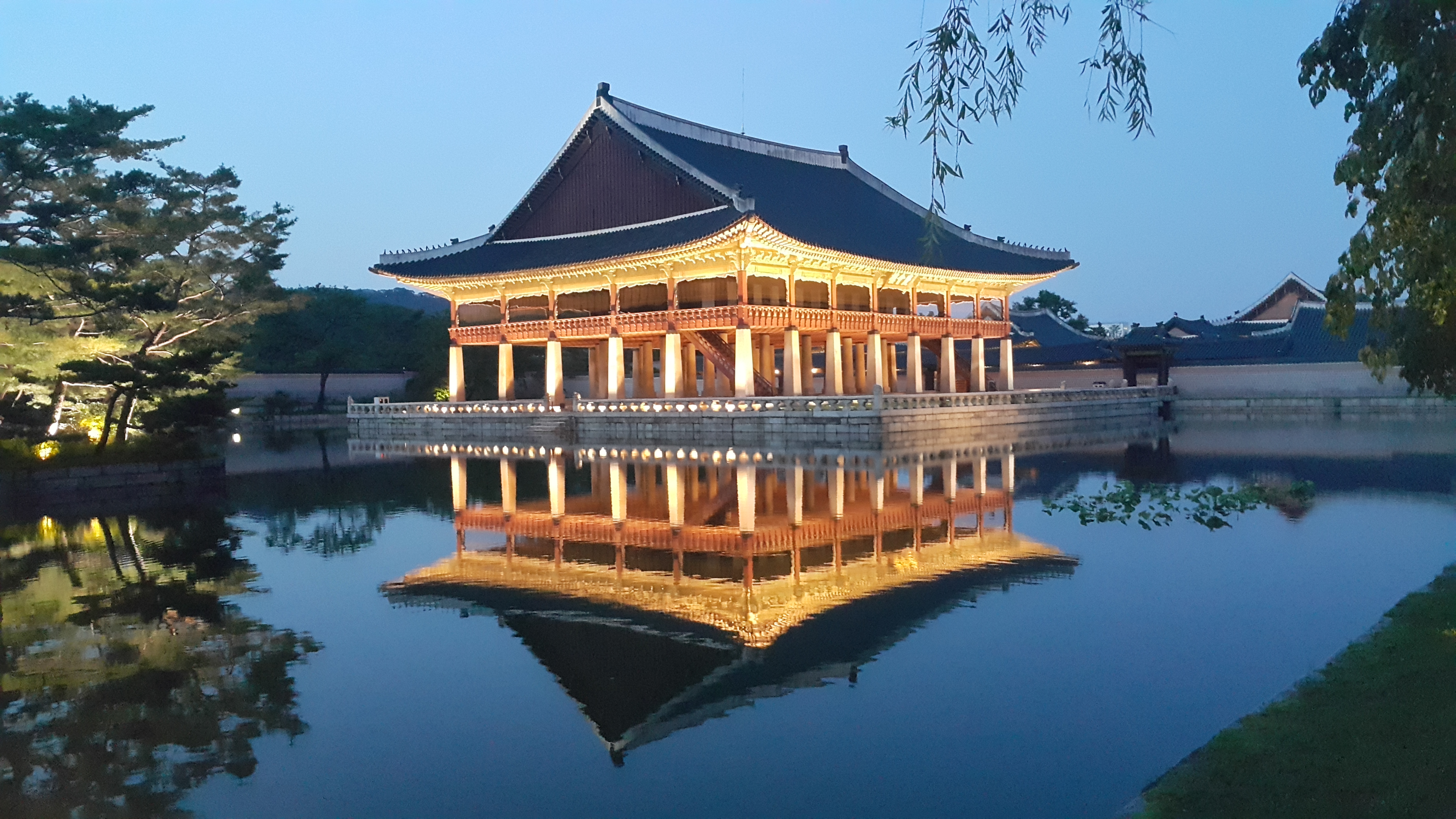
Easy Hiking Trails Near Seoul: A Foreigner's Guide
After three years here, I've learned that you don't need to trek hours to find amazing nature near Seoul. Some of my favorite weekends have been spent on these accessible trails that won't leave you completely destroyed. Let me share what I've discovered.
Why These Trails Are Perfect for Foreigners
The trails I'm recommending are genuinely easy, well-maintained, and packed with Korean hikers who are weirdly supportive of everyone. Plus, they're close enough to Seoul that you can do them as a day trip without needing to navigate complicated accommodation bookends.
My Top 3 Recommendations
Namsan (남산)
This is your warmup trail. It's literally in central Seoul, and you can reach it via subway Line 3 or Line 4 to Myeongdong Station. The main peak hike takes about 40 minutes and offers decent views of the city. The best part? There's a café at the top where you can grab a coffee (around 4,000-5,000 KRW) and celebrate. Go early on weekends because it gets crowded.
Bugaksan (북악산)
Located in northern Seoul, Bugaksan is my go-to for weekend mornings. Take Line 3 to Gyeongbokgung Station, exit 5, and you'll find the trailhead in about 10 minutes. The hike to the summit takes roughly an hour and the views of Seoul are genuinely spectacular. Fair warning: it's quite popular, so arrive before 8 AM if you want parking near the entrance. There's a small convenience store (편의점) halfway up if you forgot snacks.
Inwangsan (인왕산)
This one's special because it's slightly less crowded than the other two. Located near Gyeongbokgung Palace, take Line 3 to Anguk Station and walk toward the palace area. The full loop is about 90 minutes and includes some rocky sections that make you feel like a "real" hiker without being dangerous. Download the Naver Map (네이버 지도) app beforehand—it's essential and works better than Google Maps here.
Essential Practical Tips
Getting There
Download Naver Map or Kakao Map apps immediately. Don't rely on Google Maps. Both apps have hiking trail information, and locals actually use these for navigation. Your T-money card works everywhere.
What to Bring
Timing
Go on weekday mornings if possible. Weekends are packed with Korean families and elderly hiking groups (산악회). Spring (April-May) and fall (September-October) are absolutely unbeatable weather-wise.
Entry Fees
Most of these trails are free. Some areas have parking fees (3,000-5,000 KRW), but public transport is genuinely easier.
Quick Personal Tip
Honestly? Join a local hiking group. Search "Seoul hiking meetup" on Facebook or ask at your local GangnamGu (강남구) office. Korean hikers are incredibly welcoming, and you'll learn shortcuts and hidden spots that no blog mentions. Plus, you'll make actual friends who aren't just expats.
Happy hiking! (산행 화이팅!)
Found this helpful? Buy us a coffee ☕
🎫 Explore Seoul Activities
Tours, tickets, and experiences — book at the best price with instant confirmation.
Browse on Klook →We may earn a small commission at no extra cost to you.
Daniel Kim
Expat Life Editor · Last updated 2026-06-23